

Indochina map covers 46% of Southeast Asia’s total area, approximately 2 million square kilometers. Indochina includes five countries: Vietnam, Cambodia, Laos, Myanmar, and Thailand.
Indochina Map Guide: Explore Vietnam, Laos & Cambodia
Cambodia, Laos, and Vietnam make up Indochina, a vibrant region in Southeast Asia located south of China and east of Thailand. As a local tour operator, we offer detailed maps of the Indochina Peninsula, including Vietnam, Cambodia, and Laos. Our maps, along with helpful information and images, provide a complete guide to help you plan your trip to Indochina with confidence.
Indochina is a beautiful region in Southeast Asia, linking the East and South Asian peninsulas. The Indochina Peninsula consists of three countries: Cambodia, Vietnam, and Laos.
Regional Map of Indochina Peninsula
An outline map of Indochina offers a clear view of the region’s geography and political boundaries. Covering over 750,000 square kilometers, Indochina occupies a significant portion of Southeast Asia. Vietnam’s coastline stretches more than 3,000 kilometers, while Cambodia adds another 500 kilometers. The region features major seaports, including Danang, Nha Trang, and Ho Chi Minh City (Saigon).
The Indochina Peninsula is shaped by a diverse landscape of mountains and plateaus that run from north to south. Its topography shifts from rugged highlands in the north to flat plains and coastal beaches in the south.
The ancient Shan Plateau in Myanmar sits in the northern part of the Indochina Peninsula, with elevations between 1,500 and 2,000 meters above sea level. Several mountain ranges extend from south to north, creating a varied landscape of peaks, valleys, and highlands.
Several rivers flow through this region, including those crossing Shan State. Deep valleys divide the plateau into distinct sections: the East Myanmar Plateau lies between the Irrawaddy and Salween Rivers; the Chiang Mai Plateau stretches between the Salween and Mekong Rivers; and the Laos Plateau sits between Vietnam’s Red River in the north and the Mekong River.
The river plains and deltas—especially in the middle and lower sections—form the main agricultural zones and population centers of Indochina. A prime example is the Mekong Delta in southern Vietnam, known for its fertile lands and dense settlements. Now that you have a general overview of Indochina’s geography from the outline map, let’s explore maps of the region’s top tourist cities across Vietnam, Laos, and Cambodia.
Discover Cambodia’s Key Tourist Cities on the Indochina Map
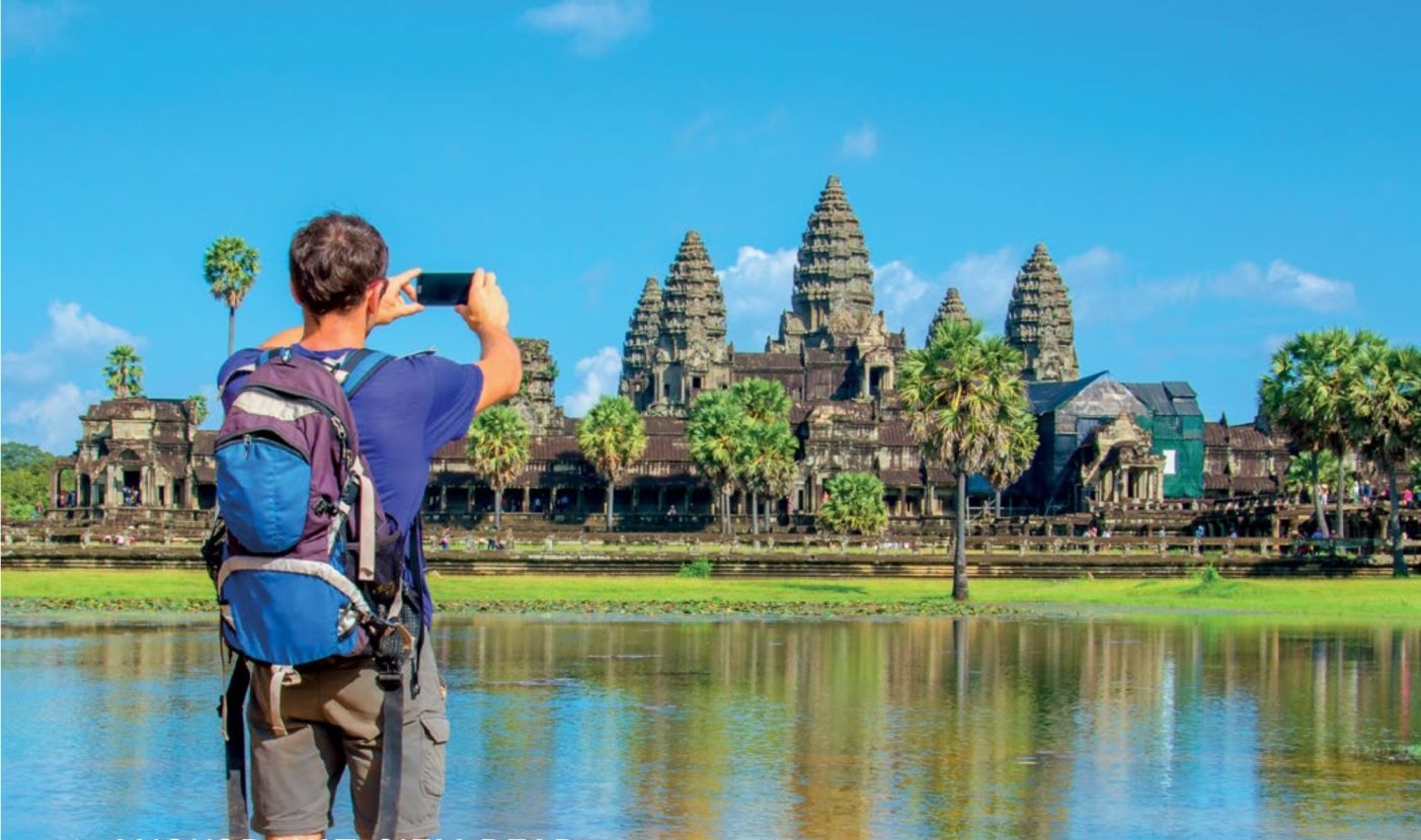
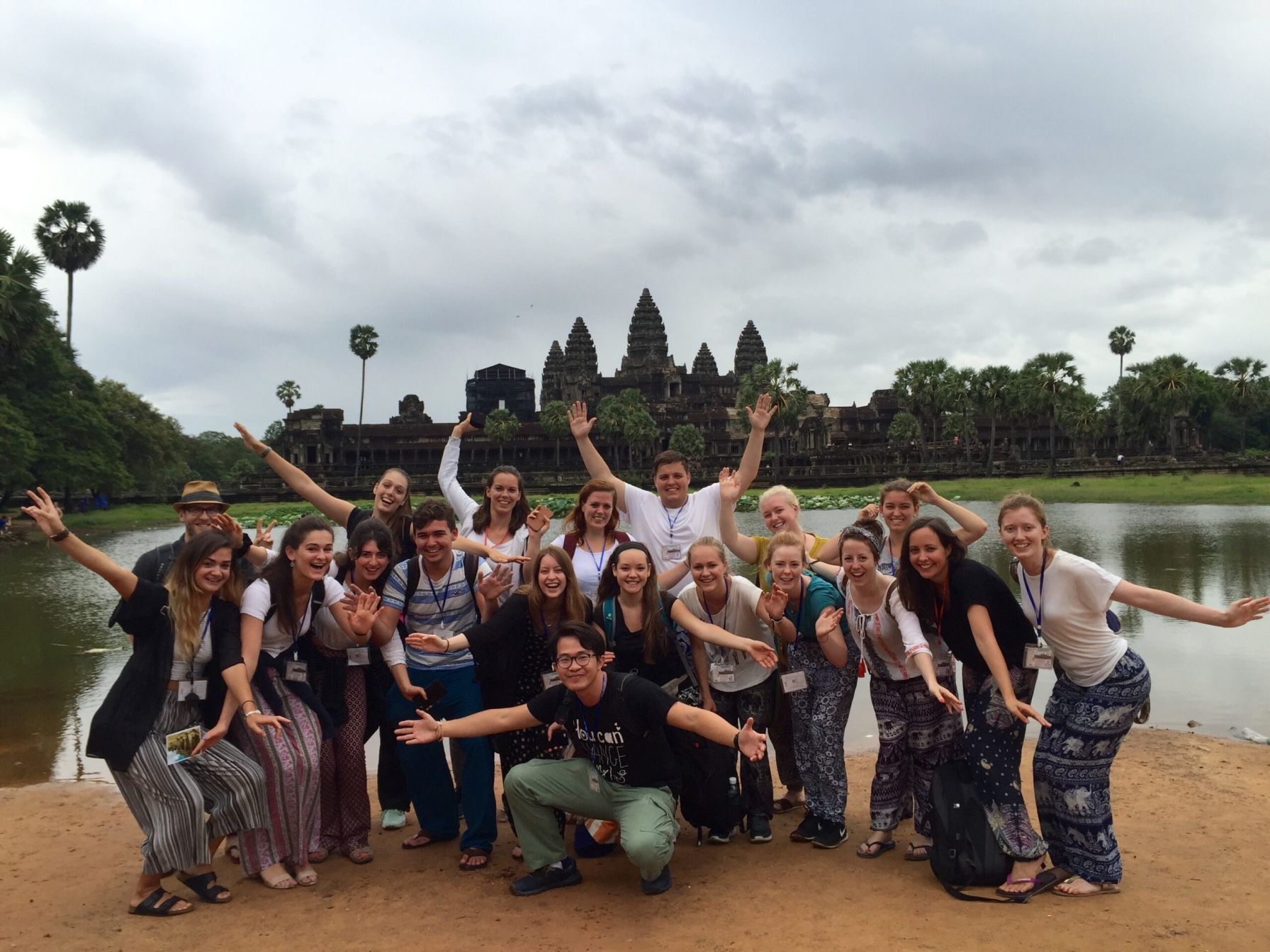
Cambodia offers a rich mix of history, culture, and natural beauty. The iconic Angkor temples are just one of many ancient and modern attractions that make the country a must-visit destination. Phnom Penh, the capital, sits where the Mekong, Tonle Sap, and Bassac Rivers meet. The city features colonial-era architecture, royal palaces, vibrant markets, insightful museums, and a dynamic nightlife.
- Ready to explore? Browse our curated Cambodia tour packages
- Siem Reap serves as the gateway to the Angkor temples, one of the world’s most stunning archaeological sites.
- Battambang offers visitors French colonial architecture and the unique bamboo train experience.
- Kampot and Kep are renowned for their pepper plantations and fresh seafood.
- Sihanoukville and the southern islands provide pristine beaches and vibrant coral reefs for relaxation.
- Kampong Cham and Kampong Thom offer opportunities to explore rural life and ancient ruins.
Map of Main Tourist Cities of Vietnam
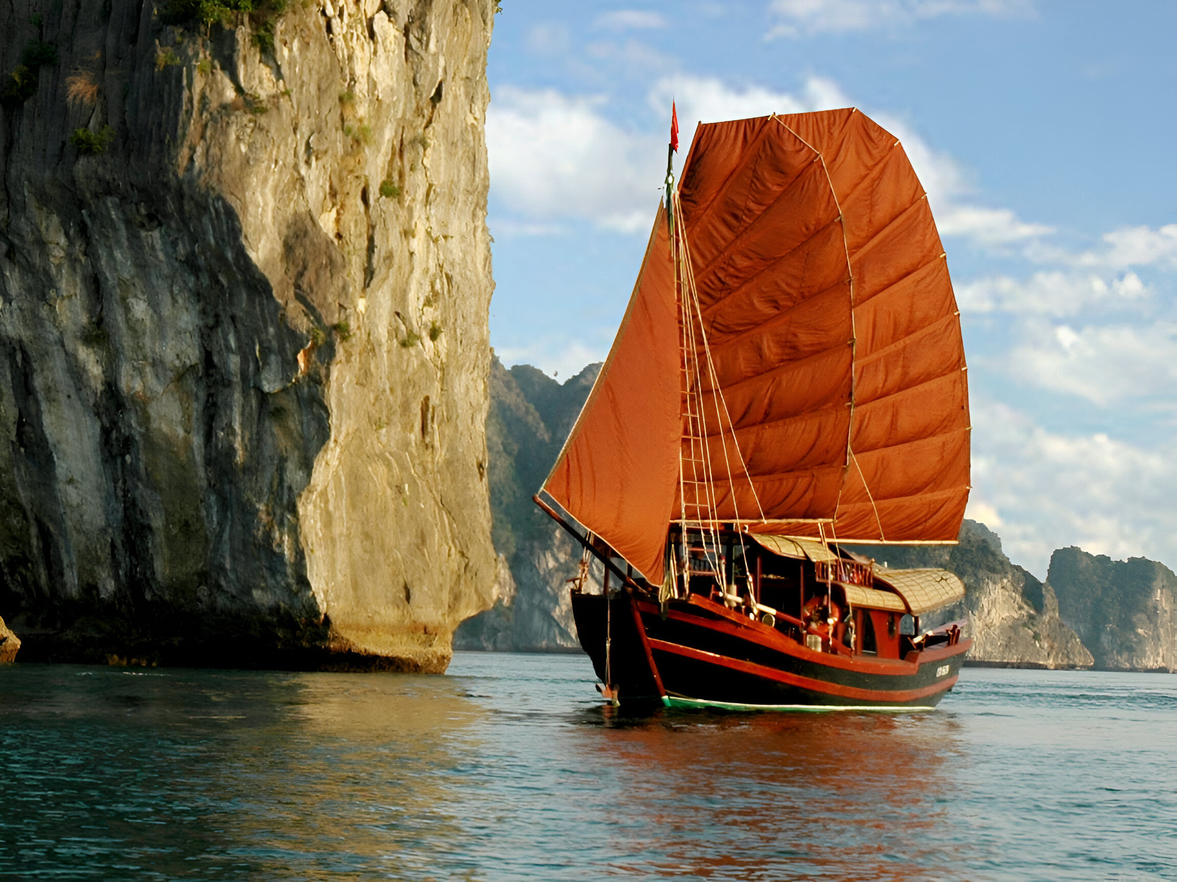
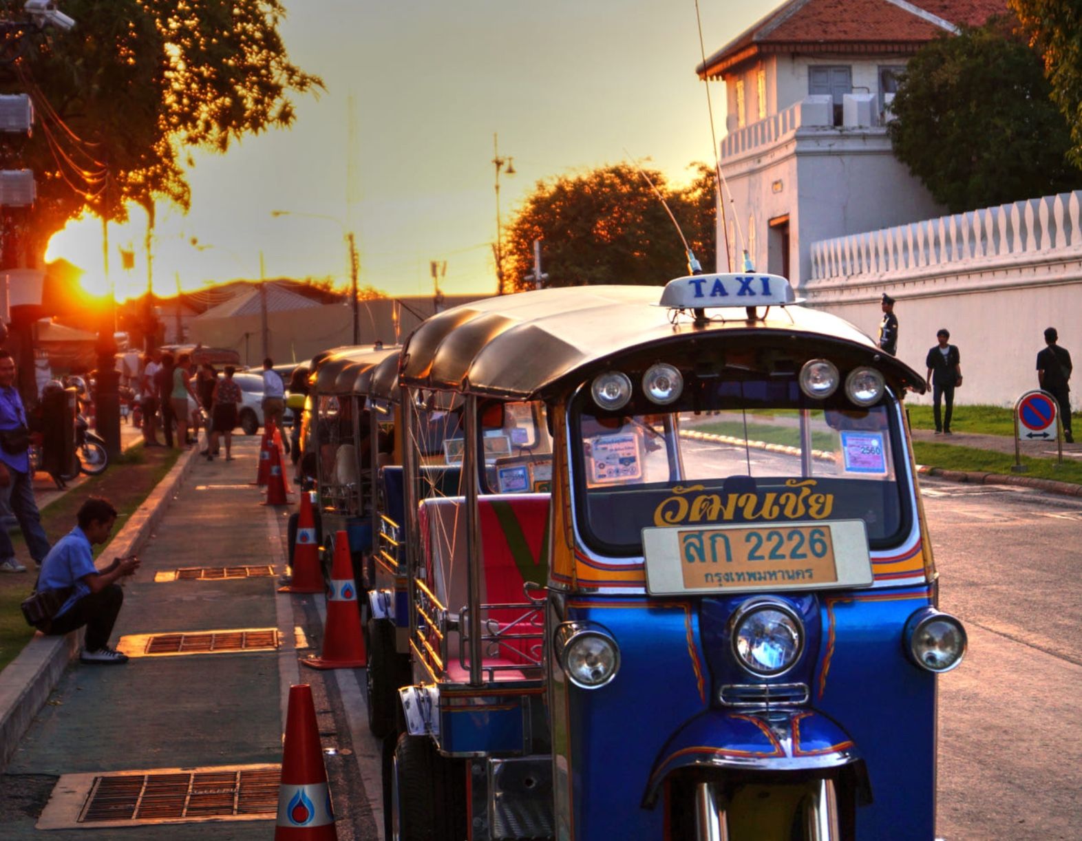
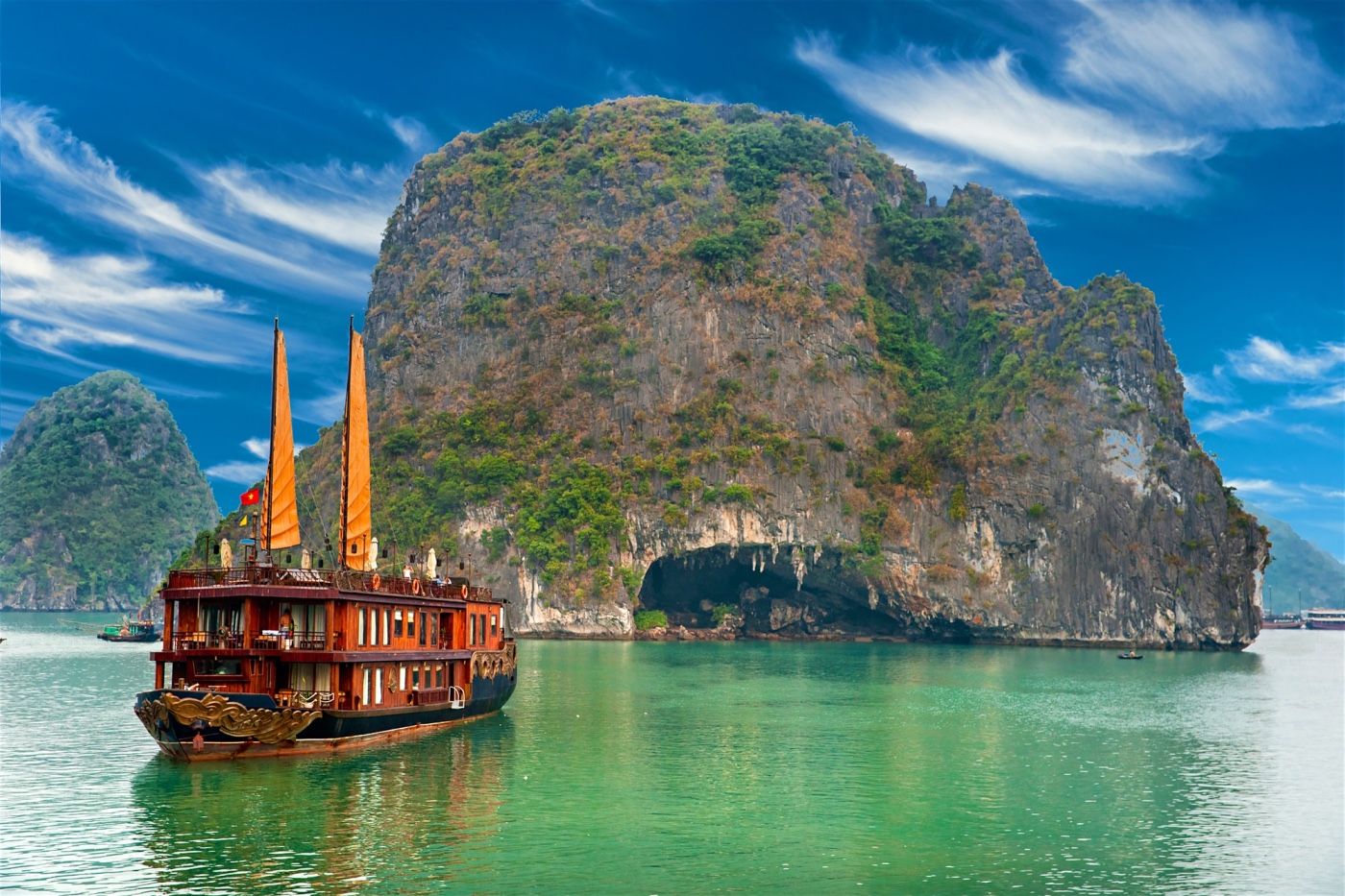
Vietnam offers an incredible mix of landscapes, cultures, and cuisines. Its long coastline stretches from the Gulf of Tonkin to the South China Sea, bordered by mountains, river deltas, forests, and tropical islands. Hanoi, the capital city, beautifully blends tradition and modernity—where ancient temples and street markets meet French colonial architecture and contemporary cafés.
- Ho Chi Minh City, previously called Saigon, stands as a dynamic hub in Vietnam, offering a mix of rich history and vibrant energy.
- Sapa, located in the north, is a hill station known for its stunning landscapes and diverse ethnic communities.
- Hue, once the imperial capital, features a grand collection of palaces, temples, and tombs.
- Da Nang, a coastal city, boasts modern skyscrapers, bridges, and picturesque beaches.
- Hoi An, an ancient town, preserves its heritage and cultural charm.
- Dalat, nestled in the central highlands, is famous for its flowers, waterfalls, and coffee.
- Nha Trang, a lively seaside resort, offers coral reefs, islands, and vibrant nightlife.
- Can Tho and the Mekong Delta provide a glimpse into rural life and the famous floating markets of southern Vietnam.
Map of Tourist Cities of Laos
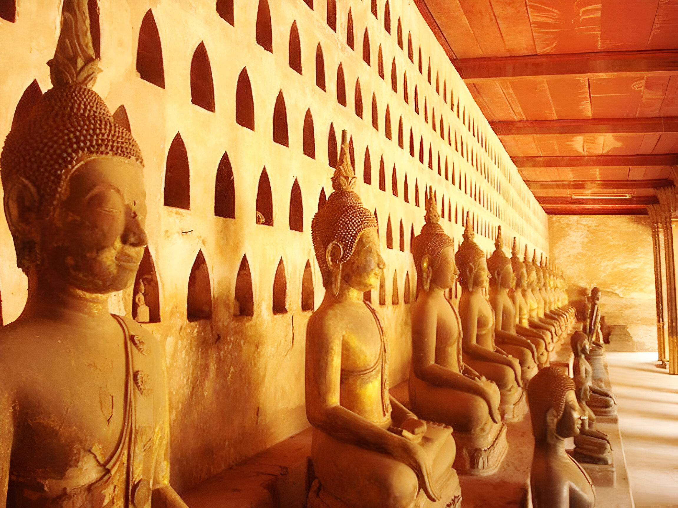
Laos, a peaceful landlocked country in Indochina, is often overshadowed by its neighbors—Thailand, Vietnam, and Cambodia—but it offers incredible experiences of its own. From rich cultural traditions to breathtaking natural scenery and historical landmarks, Laos is full of hidden gems. The capital, Vientiane, lies along the Mekong River and features top attractions like the Patuxay Monument, Wat Si Saket, Wat Phra Keo, and Buddha Park.
- Ready to explore? Discover our Laos tours and holiday packages
- Luang Prabang, once the royal capital and now a UNESCO World Heritage site, stands out for its ancient temples, monasteries, and colonial-era architecture.
- Vang Vieng, a backpacker’s haven, offers breathtaking limestone karst formations and caves.
- Pakse serves as the gateway to the Bolaven Plateau and the Wat Phu temple complex.
- Savannakhet combines Lao, Thai, Vietnamese, and French influences, creating a unique charm.
- Phonsavan, the central town in the enigmatic Plain of Jars region, invites curiosity and exploration.